A Pas 128 underground utility survey should be undertaken prior to any excavation works.
There are approximately 1.5 million kilometres of buried utility infrastructure in the UK. It is estimated that each year there are 4 million excavations undertaken. The current estimate is that 60,000 service strikes arise from these excavations, although not all figures are reported.
The latest figures show that the direct cost of strikes which were reported was £7 million. This does not take into account the indirect cost. In addition the reported strike figure for the sample was only around 2000.
All stakeholders within a project have a duty to understand the risks associated with any excavations on their site.
Undertaking an underground utility survey for all construction projects reduce financial and health and safety risks exponentially.
The principle methods for locating buried services are:
Electromagnetic Location
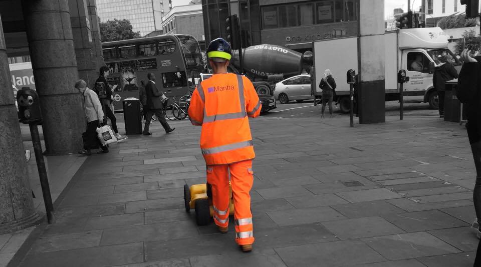
This is a form of utility location where electromagnetic fields are detected either actively induced into a conductor or passively present. Colloquially this is known as a CAT and Genny survey. The process involves accessing all the available chambers and using EM accessories such as tracer wires, cable clamps and sondes for the best location of a utility possible.
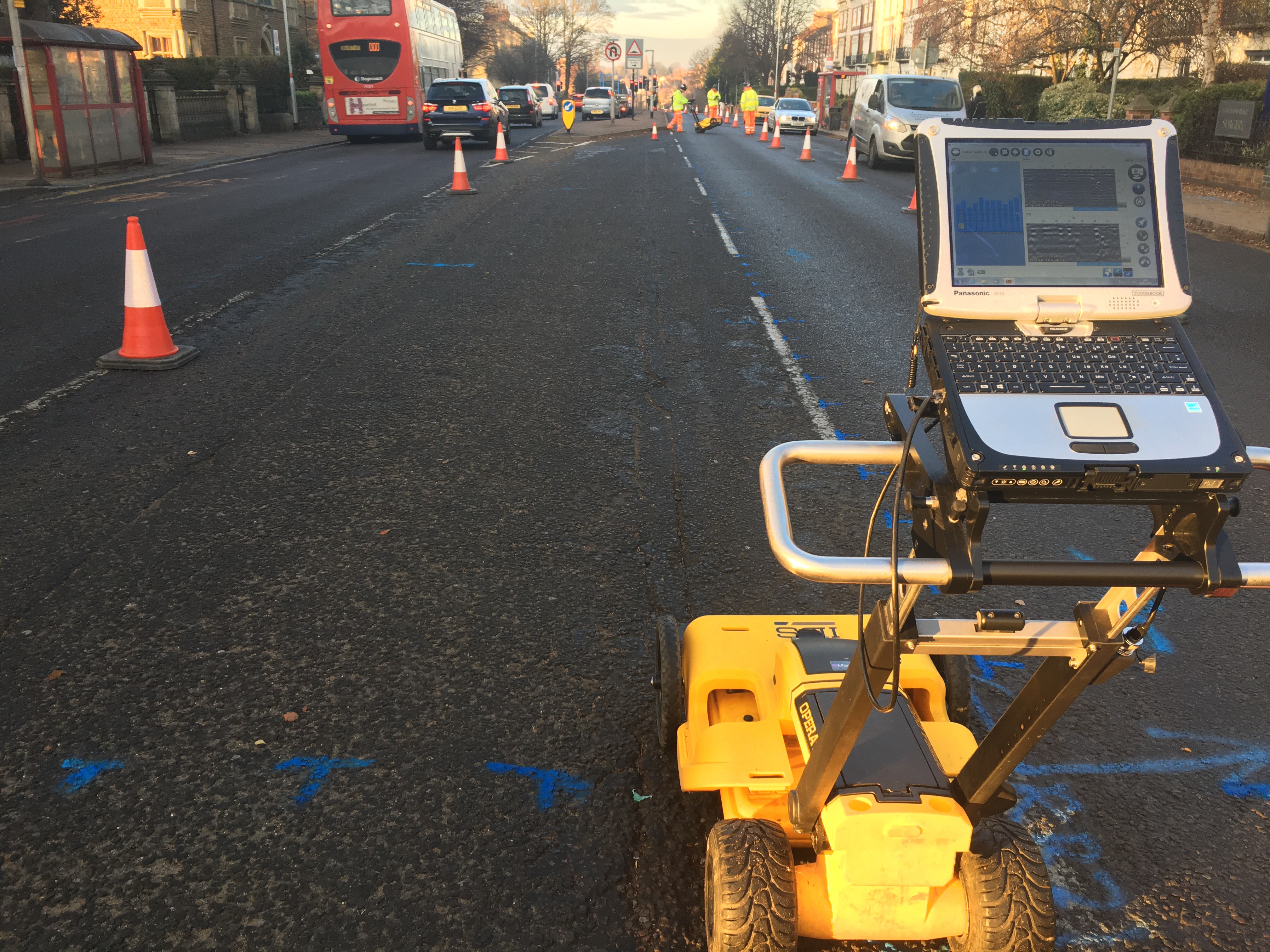
GPR (Ground Penetrating Radar)
GPR data is usually collected in a grid formation and the data is saved. For works in carriageways or large accessible areas we employ the use of a vehicle mounted high density GPR array for the data collection. At Mantra we post process all of our GPR data with the in house geophysics team unless specifically requested otherwise by the client.
Mantra Services are able to offer a range of underground utility survey types to suit any project scale. These range from a utility plans search through to a locate and mark on site and PAS128 compliant surveys.
Insight – Telecommunications Sector
A suite of complementary services aimed squarely at providing customer…
Free PAS 128 Autumn Webinar 2020
PAS 128 is the underground utility survey industry standard. We…
There are three levels of PAS 128 surveys which we undertake:
Survey Type B (Utility Detection and Location Survey)
A Type B PAS 128 utility survey is the most commonly requested of the utility survey types. It is also the most effective and complete survey available without trial hole excavation. The Type C and Type D survey types are both included within the survey except geophysical techniques are used for services location.
Survey Type C (Site Reconnaissance)
A Type C PAS 128 survey comprises of a site reconnaissance to identify physical features that support the existence of utilities within the survey area. These are matched to existing utility records to build a complete sub-surface picture as possible without the use of geophysical techniques.
Survey Type D (Utility Records Search)
A Type D PAS 128 survey is where existing records searches are undertaken with asset owners and received information is collated in report form for issue to the client. An additional option for a Type D survey is where the received records and transposed onto a CAD layout for easier reference and project inclusion.
Data Presentation
All of the utilities during a survey are marked on the ground. Should it be required by the client easily removable methods can be employed in some locations. The position of the marked information is collected with GPS coordinates and a CAD drawing and report are issued to the client after post processing of all of the relevant information.
A PAS128 survey has a quality assessment of each located utility providing the client with an unprecedented amount of information giving more confidence during the design and construction processes.