Mantra Services have extensive experience providing clients with topographic survey information in a vast range of industries and environments
Data Collection
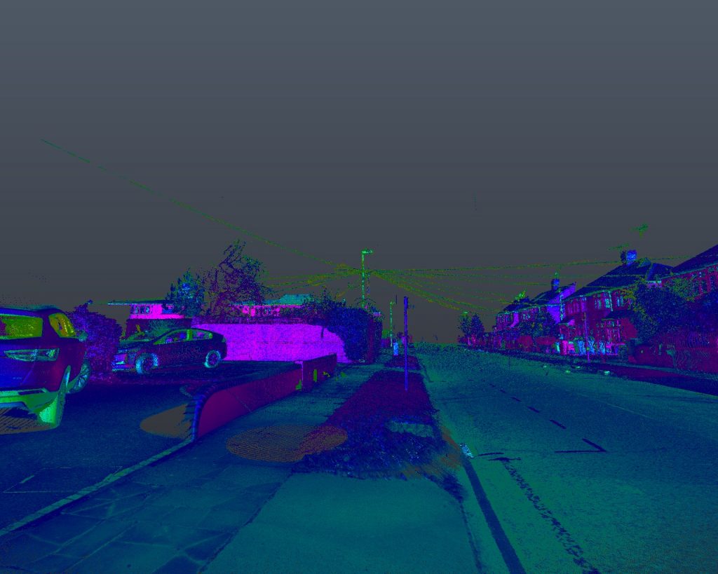
The directors have 60 years experience within the industry. That knowledge is constantly being updated to encompass new technologies and techniques for data capture. Because of this our topographic survey data capture techniques include robotic total stations, GPS and lidar. Many surveys incorporate a mixture of these methods depending on the environment. This ensures the most complete and accurate data available to the end user.
This capability had been developed over time delivering topographic survey projects for asset owners, contractors, consultants and private clients to support their projects. We constantly consult with and listen to our clients and their needs. We ensure we meet those needs by evolving our workflow and delivering robust topographic survey data sets.
Data Processing & Survey Outputs
Mantra Services use the cloud for sharing project data and the collaboration during the processing and delivery of a topographic survey project. Data is uploaded to cloud directly from our field controllers. Our CAD team have access to surveys almost instantaneously.upon completion.
We are able to deliver completed survey outputs as 2d or 3d CAD files. Data can be presented as a terrain model or in a BIM compatible format. This can be imported directly into a project Revit model or as a standalone Revit project.
For further information on our Topographical Survey offerings and the sectors where we can add value to your project, please call us on 01604 770955 or email us via the link below.